slartibartfast
-
Posts
1,928 -
Joined
-
Last visited
-
Days Won
1
Content Type
Profiles
Forums
Gallery
Downloads
Blogs
Events
Store
Aircraft
Resources
Tutorials
Articles
Classifieds
Movies
Books
Community Map
Quizzes
Videos Directory
Everything posted by slartibartfast
-
Help/advice needed on BFR with complications
slartibartfast replied to Bigglesworth's topic in AUS/NZ General Discussion
Hi Joshua. Welcome back. No - a 2 day BFR is not normal. It would be part of Mick's special instructions for your re-education. I reckon you need to call Mick and tell him what went down at Moruya, and get his advice on what to do next. Great that the hangar at Frog's is nearly there. It would be sweet to see you in the air again. With your new improved attitude and respect for the things that bite, you'll have a much better chance of surviving the fun bits. Hope to see you there soon. Ross -
The standard Miopocket will work by the look of it. Check the readme here. Under section 4B I see the Knight Rider (KITT_USA will be the folder name) listed. You won't need to pay for it. Follow the download link from the official site here. Cheers, Ross
-
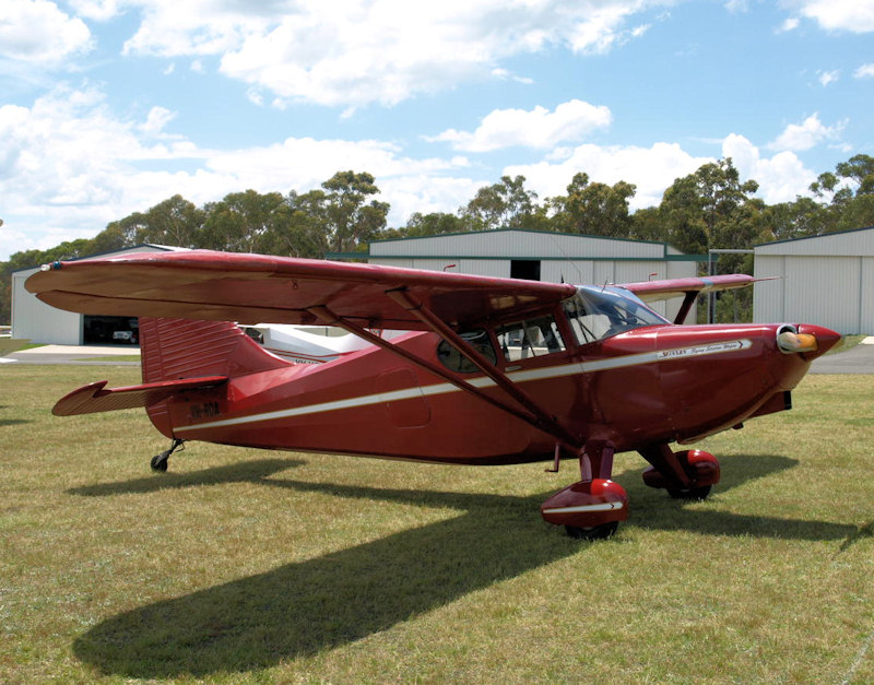
You calling my wife a liar? I suspect Tuggeranong was wetter than the airport. Yes - it's a Falco. Built and owned by Drew at Frog's Hollow. It's a beautiful machine, and very fast. I had it pass me on the way to Cowra once. Felt like I was the only one with a 70 knot headwind.
-
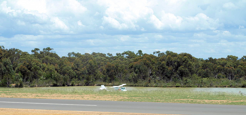
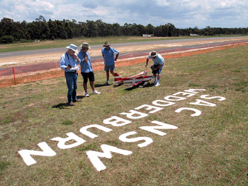
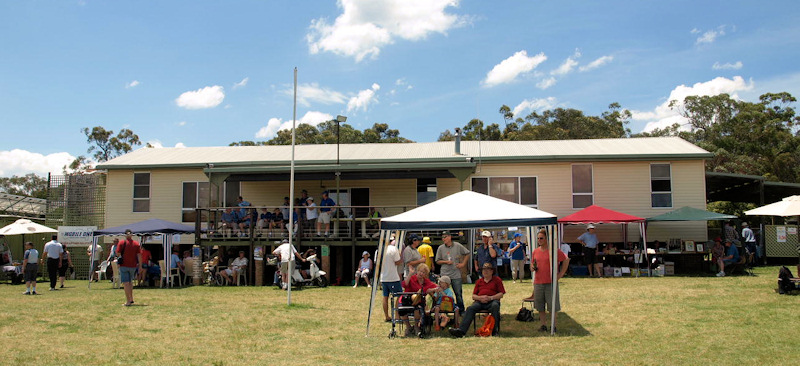
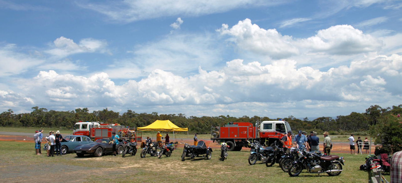
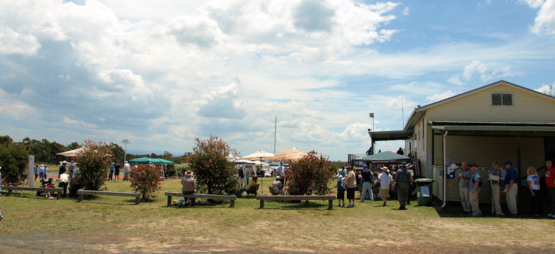
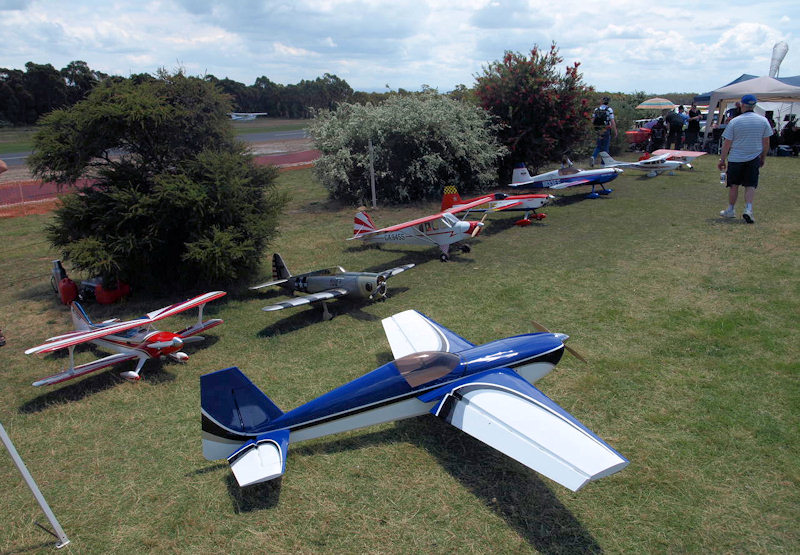
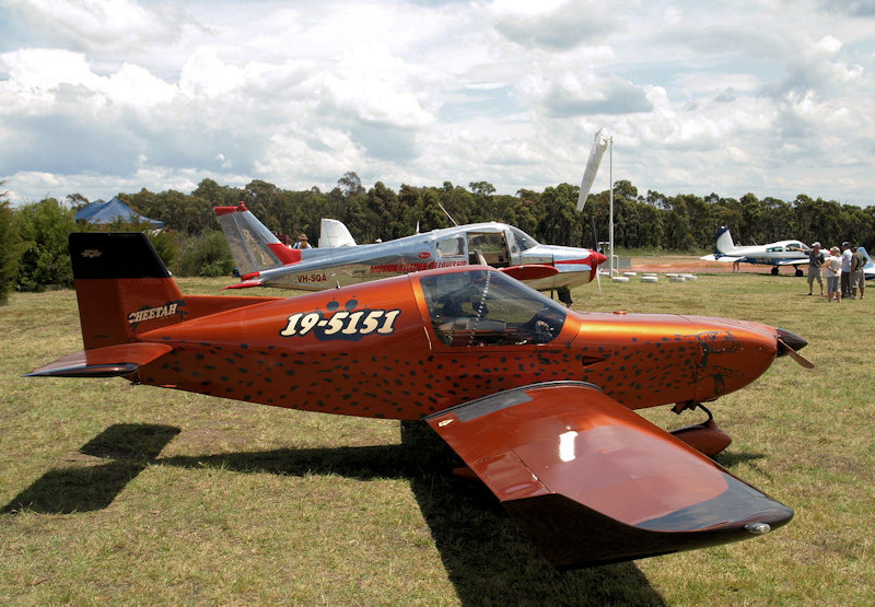
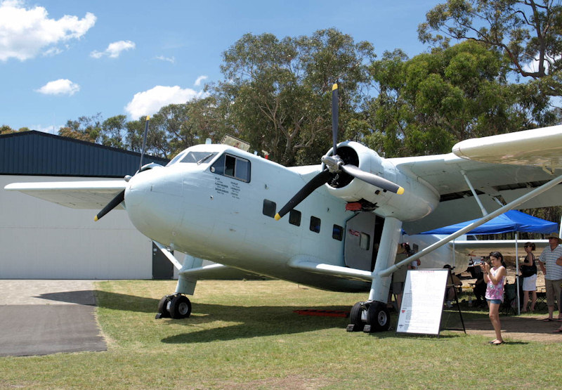
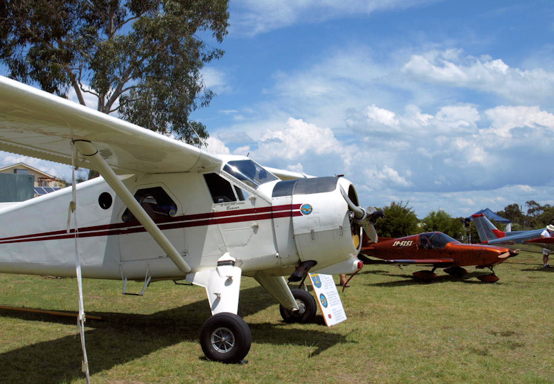
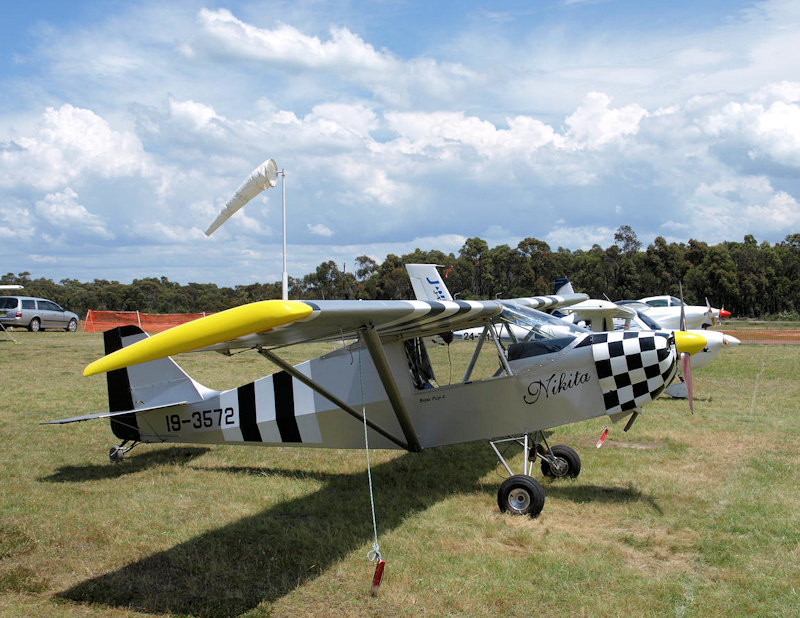
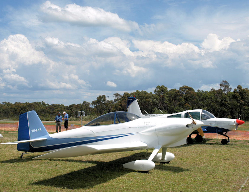
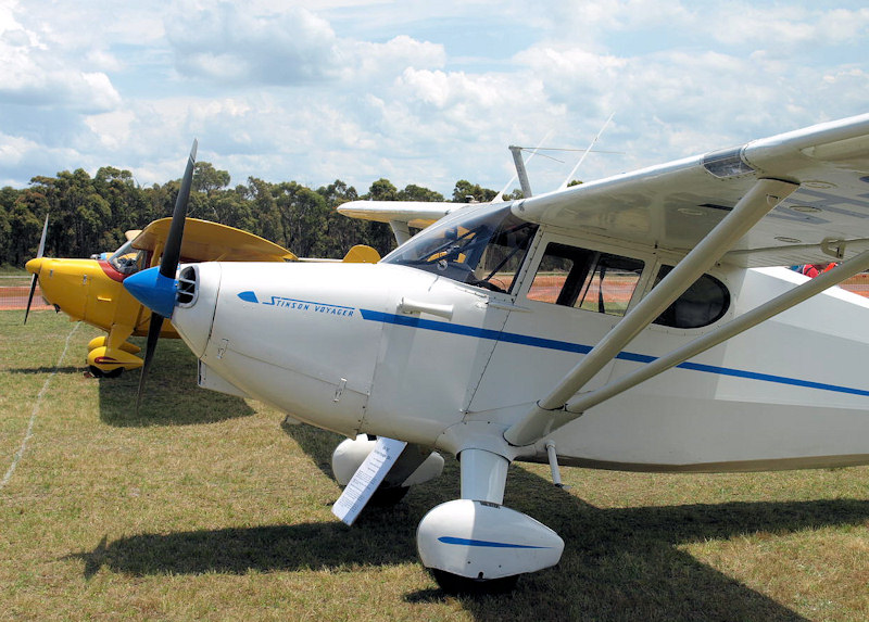
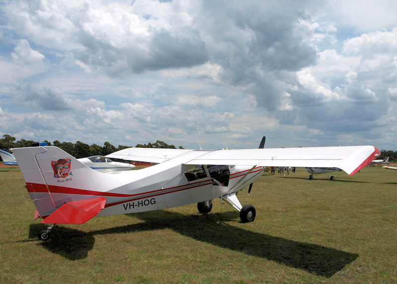
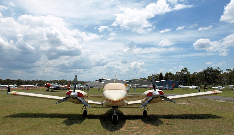
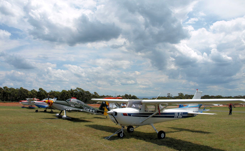
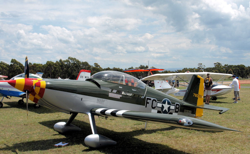
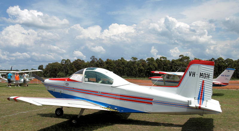
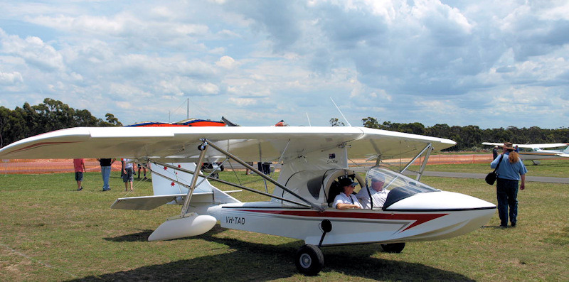
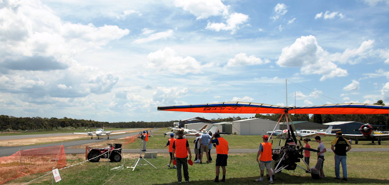
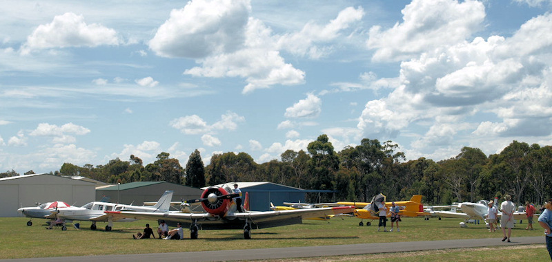
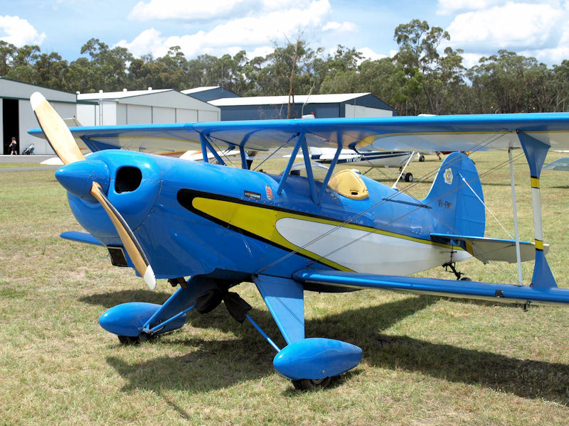
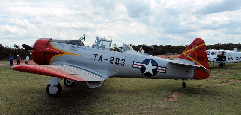
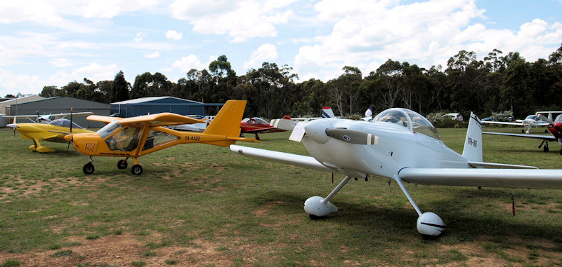
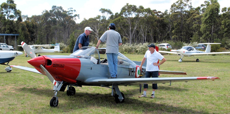
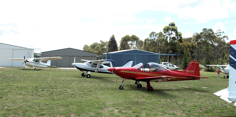
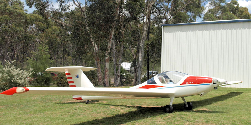
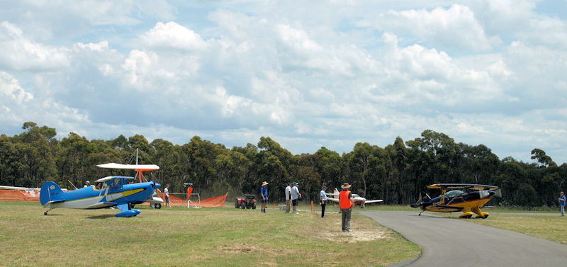
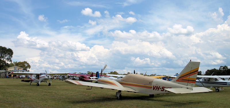
Well I had a lovely day. I thought I'd throw a few photos in too - for those who couldn't make it. Rob and Rachel, I wasn't the only one to miss you. Hope you get the brakes sorted soon. It was great to catch up with heaps of forumites too. I haven't seen Planey for so long I didn't even recognise him. Heon - it would have been good to say hi. I didn't realise you were there. Was that you playing duck on the pond? I was too slow getting the camera for a good shot. Yeah - no worries getting home thanks Dave. The in-flight radar helped, but just had to dodge some showers. Timed it beautifully getting into Goulburn. Some shots: [ATTACH]12419.vB[/ATTACH] [ATTACH]12435.vB[/ATTACH] [ATTACH]12436.vB[/ATTACH] [ATTACH]12437.vB[/ATTACH] [ATTACH]12438.vB[/ATTACH] [ATTACH]12439.vB[/ATTACH] [ATTACH]12440.vB[/ATTACH] [ATTACH]12441.vB[/ATTACH] [ATTACH]12442.vB[/ATTACH] [ATTACH]12443.vB[/ATTACH] [ATTACH]12444.vB[/ATTACH] [ATTACH]12445.vB[/ATTACH] [ATTACH]12446.vB[/ATTACH] [ATTACH]12447.vB[/ATTACH] [ATTACH]12434.vB[/ATTACH] [ATTACH]12433.vB[/ATTACH] [ATTACH]12420.vB[/ATTACH] [ATTACH]12421.vB[/ATTACH] [ATTACH]12422.vB[/ATTACH] [ATTACH]12423.vB[/ATTACH] [ATTACH]12424.vB[/ATTACH] [ATTACH]12425.vB[/ATTACH] [ATTACH]12426.vB[/ATTACH] [ATTACH]12427.vB[/ATTACH] [ATTACH]12428.vB[/ATTACH] [ATTACH]12429.vB[/ATTACH] [ATTACH]12430.vB[/ATTACH] [ATTACH]12431.vB[/ATTACH] [ATTACH]12432.vB[/ATTACH] [ATTACH]12448.vB[/ATTACH] It rained heavily all day in Canberra. Bonus.

-
After Sir Paul's divorce, the press asked him if he'd ever go down on one knee again. He replied, "No - and I'd prefer you called her Heather". He also wrote a lyric to help with the pain: I lay upon a grassy bank My hands were all a quiver I slowly undid her suspender belt And her leg fell in the river.
-
Thinking of you BigPete. My deepest sympathy for your loss. Ross
-
Yeah I'm still around. Thanks for missing me. I tried to resign, but Ian wouldn't let me. After 3 or 4 years of just Ian and myself moderating, I've had enough of reading every post, so I'm taking a rest now the new mods are on board. Too many egos, too much abuse. I'm sick of the politics too. I just want to fly. I'm also extremely annoyed at the way Ian gets treated. If I don't have a break I may bite someone - then I'd have to be put down. I still check in occasionally. Keep up the good info. That's what the site is for. You'll also find me and the cat at a fly-in near you. That's the way to catch me. Cheers, Ross
-
They work! Forumite David Isaac was in Canberra for a conference yesterday and happened to park right next to my car. He noticed the sticker and left his calling card. Stupendously serendipitous.
-
PM sent Colin. You'd better get in quick and buy any maps you need while Maptrax has any left. I'll buy Ozi for you and set it up.
-
Yep. That's what I've taken away from all this Ian. I'm throwing away all my GPS devices immediately.
-
Secret reply. Well I'll be stuffed. I got a prompt reply this morning, which prompted more questions, which also got a prompt reply. Out of courtesy, I asked if she'd mind if I posted the response here, and was told: Every request we get for data is reviewed from a safety, regulatory and legal aspect, and is not just released without due consideration. I do not want any preconceived interpretation of our discussions and would therefore request that you do not release our discussion on the website. She also took issue with my "4,000 pilot friends" remark. Also, I noted your comment re the number of pilot friends that use navigational equipment, and their need for Airservices charts. Maptrax indicated that the numbers were quite low and that was why it was not financially viable for them. Watch our online store for release dates. So I could tell you the answers, but I'd have to shoot you. Why don't you all just email them at [email protected] and ask the questions again. So, I won't release our discussion, but I owe you the salient points. Basically, they won't be available until the next release cycle (if then). They won't retain the original geo-references because everyone wants them in different formats and they couldn't keep up with the technology. They will be in packs, not singular, at a similar price (plus some) to Maptrax. You can scan the paper charts only if you buy a license from Airservices. Minimum fee is $275. You may also need an approval from CASA under CAR 233 (1)(h). If you want to sell them to others, they are happy to discuss licensing you as they did Maptrax. They are also worried about inadequately regulated provision of data being an increased safety risk - even though we cannot use this data as a primary means of navigation. Nothing is in concrete yet (except their feet).
-
Just say no. That's what I've been doing. If a service station forces ethanol down your throat, go elsewhere. If enough people do it, they'll notice. I don't object because of possible damage, I object because it is obscene and immoral to grow crops to run our vehicles when half the world's population is starving. You can't eat dead dinosaurs (although I suppose many do eat margarine - same thing).
-
See? I knew there would be no point ringing back when she told me to. She was just informed today that with the next release of charts, they will be available from Airservices digitally, but only in PDF format (well - she said PFD, but we got to the bottom of that). Of course that means no geo data. She was short on other details (like price, whether you get them free with your paper copies, etc.), so I have emailed the docs unit with all those questions and more. Including asking whether it would be OK to scan and calibrate your own charts then provide them to someone else who owns the paper versions but lacks the skills and/or equipment to scan their own. I'll let you know the replies (give it another 3 weeks). I told them that me and 4,000 of my pilot friends await their reply.
-
I suspect it would be illegal. I forgot again (until about an hour ago) to call Airservices back. I will do it on Monday and get an answer to this question too.
-
Love your work John.
-
I highly recommend doing the SD only method. I've done it for a lot of 370's now and it works every time. If all turns to toast, simply remove the SD card and reset. Back to how you bought it - no risk at all. Ignore this advice at your (financial) peril.
-
Hi Upthere. Yes - you need to unlock the Mio. All the instructions and downloads can be found here. If that all looks too hard, I can set it up for you on an SD card and post it to you. Cheers, Ross
-
Nup - only remembered Friday. I'll get to it this week.
-
Ah Yoda. Welcome you are. I've started watching your videos. Very cool viewing. I moved into hang-gliders in about 1980. Great way to fly. Pull up a pew.
-
Big congrats Rachel.
-
... and the Oshkosh type train you can get on and off at will to get to the tie-down lines and check out all the aircraft. Cazza was already working on that for next year by the end of the weekend.
-
Not at all Lexman. You just described the Morgan Sierra. Make sure you check it out. Ticks every box. With flaps will stall at 22 knots. Cruise with a Jab 3300 is 135 knots. Large luggage. Wings off in 5 minutes. Great range even without optional wing tanks. Great visibility. Aussie made to boot (Garry is of kiwi hatching, but he's been here a long time).
-
Approx $80 and maybe an ounce heavier. Don't have breakfast.
-
This month remains Cheetah free. That is clearly a Leopard (Panthera Pardus).
-
Bass, while I agree RAA pilots and aircraft are currently flying through CTA (I have heard them many times and even asked a few later in case they had a PPL), it is definitely not legal. The controllers are just there to help - not to enforce rules. They don't ask if you're allowed to enter CTA, they just make sure it's safe for everyone to do so. They will even let you into class C without a transponder if there isn't too much else going on. I wish pilots who are not allowed into CTA would stop accepting the controllers' offers. It will screw it for the rest of us if anything goes wrong. I have checked before. There has never been RAAus CTA allowed. An RAAus plane flown by a current PPL holder with CTA endorsement can be flown into CTA if fitted with a transponder and an approved engine.